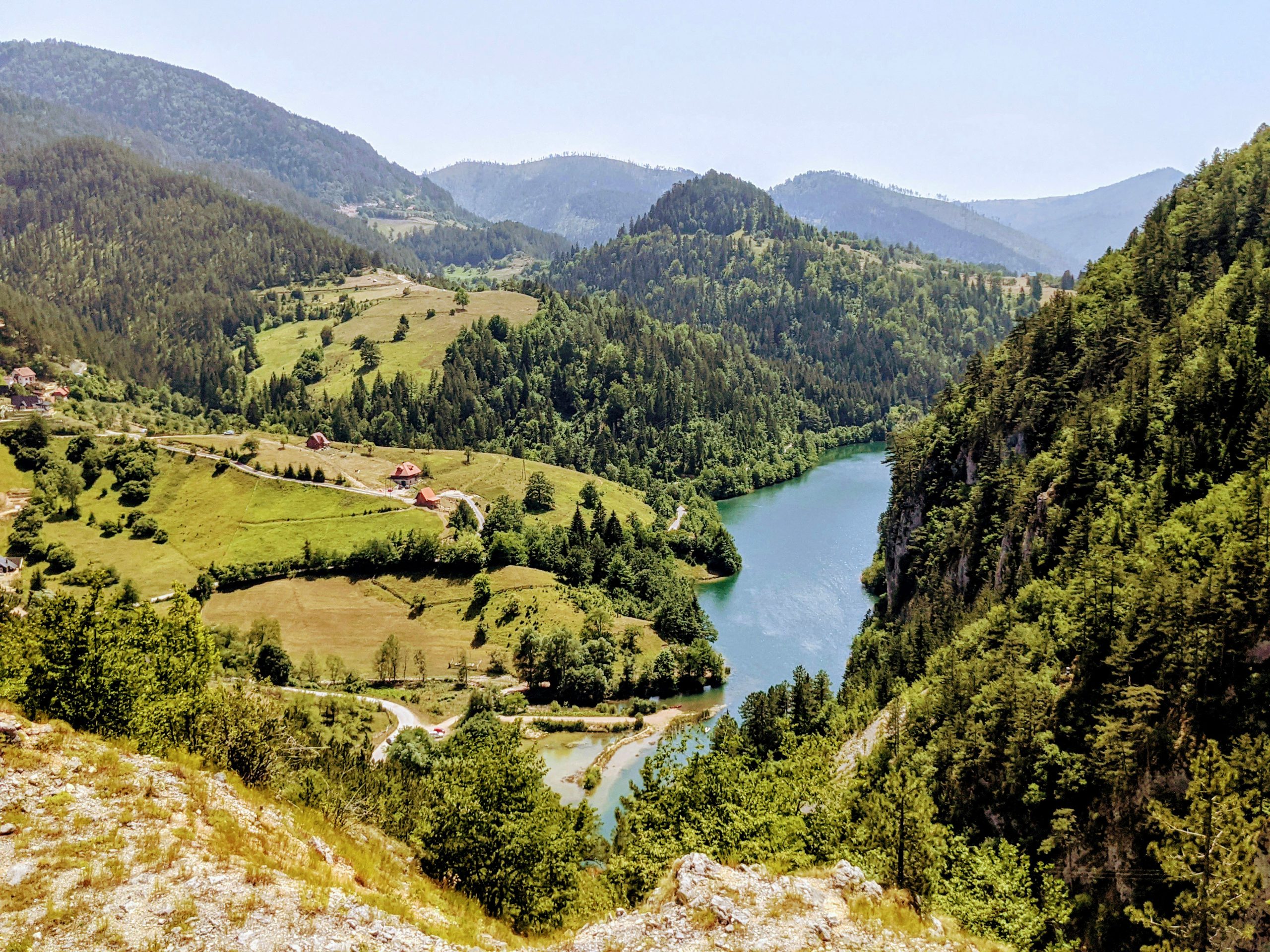
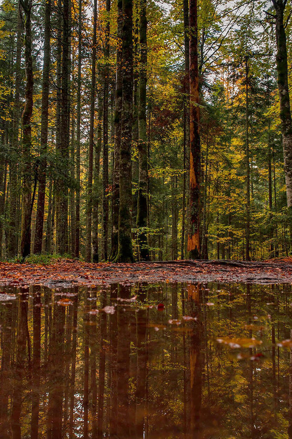
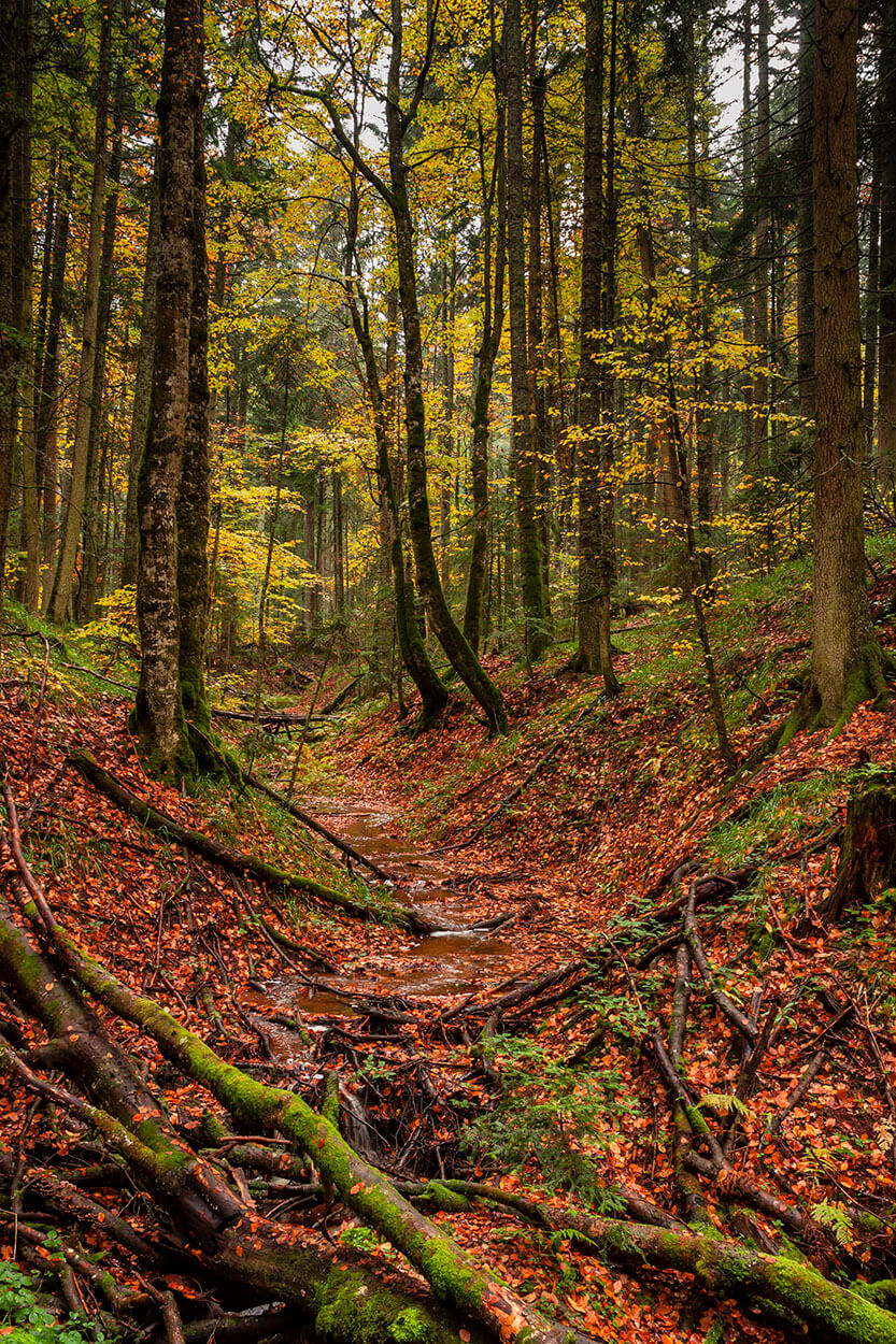
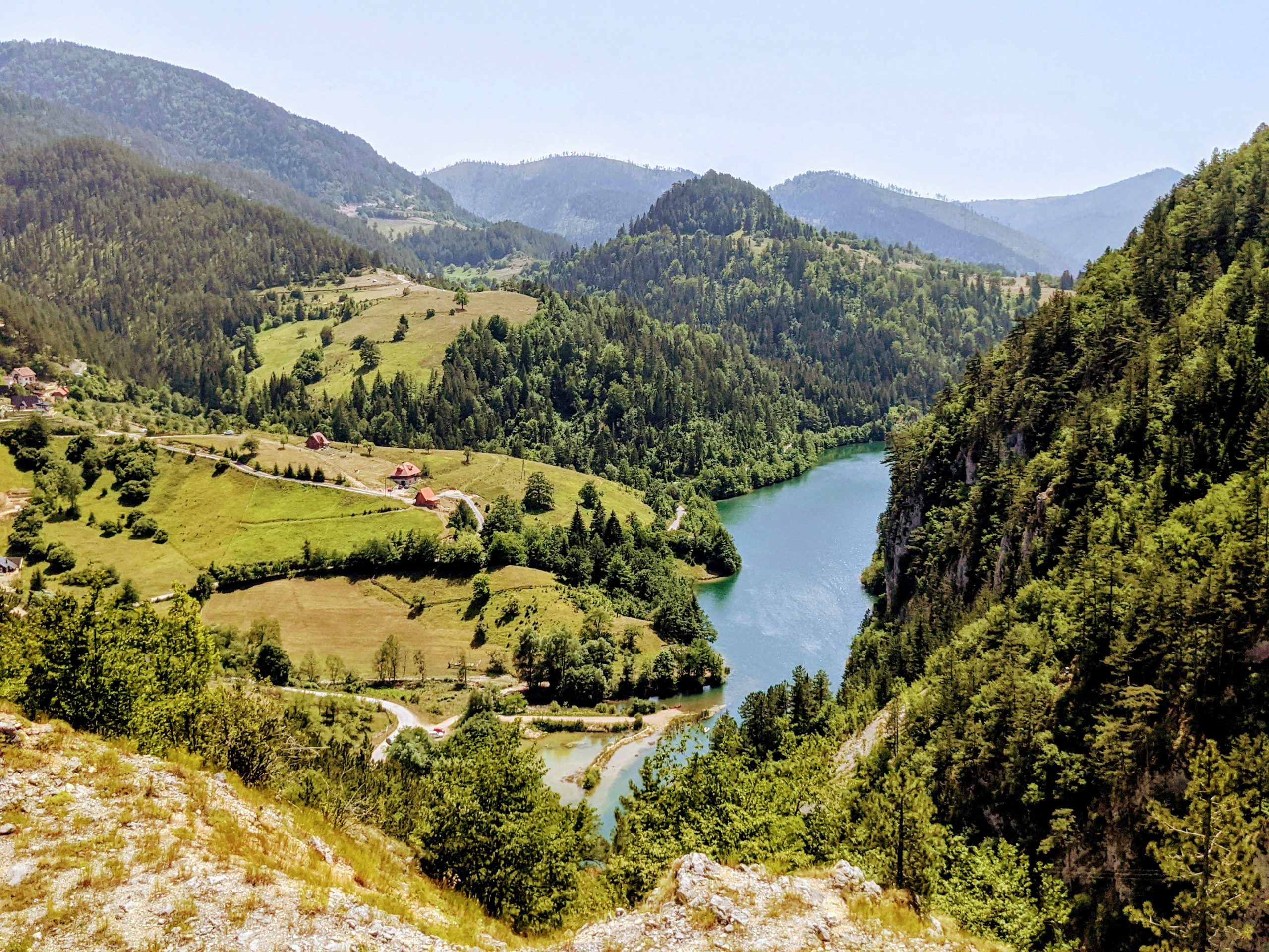
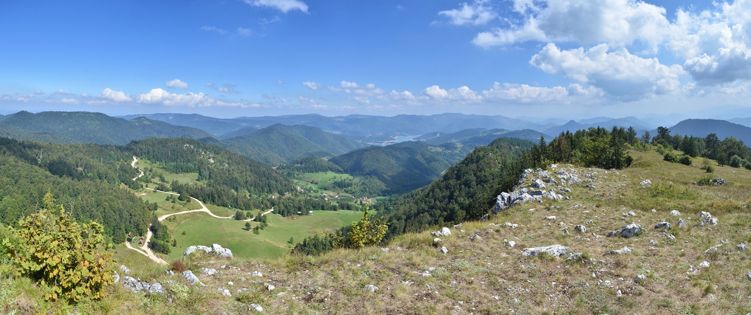
The Tara National Park encompasses a mountainous landscape in western Serbia. As a protected area of nearly 25 000 ha since 1981, it covers most of the Tara and Zvijezda mountain ranges along the course of the river Drina between Bajina Bašta in Serbia and Višegrad in Bosnia and Herzegovina.
Tara is a medium mountain range with limestone surfaces, an average altitude of 1 000 to 1 200 meters, cut by numerous canals and gorges and from which peaks rise – Kozji rid 1 591 (the highest peak of the Zvijezda mountain), Zboriste 1 544 (the highest peak of the Tara mountain), Janjac 1 473, Smiljevac 1 445, Galinik 1 305 and others. The lowest point in the park is the river Vrelo at 234 meters.
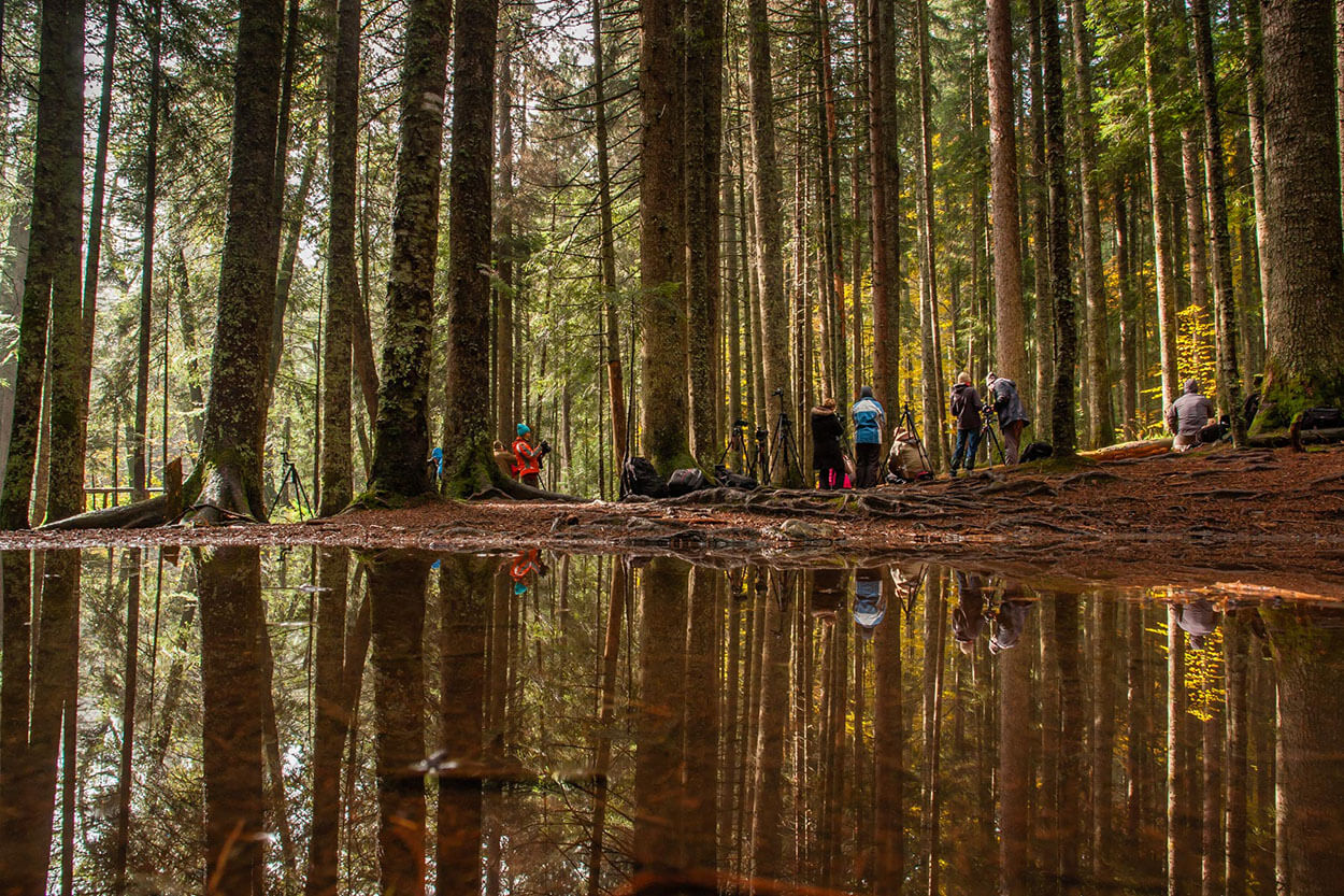
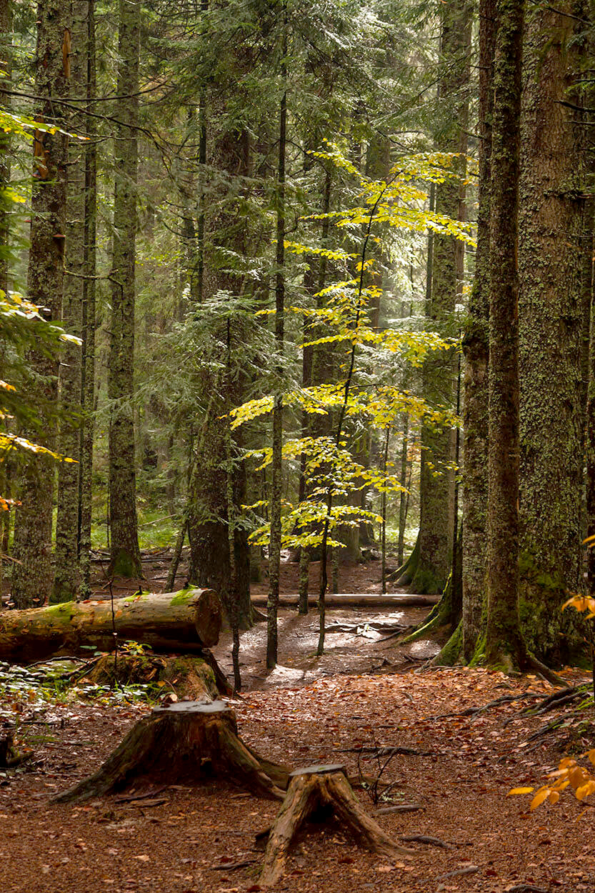
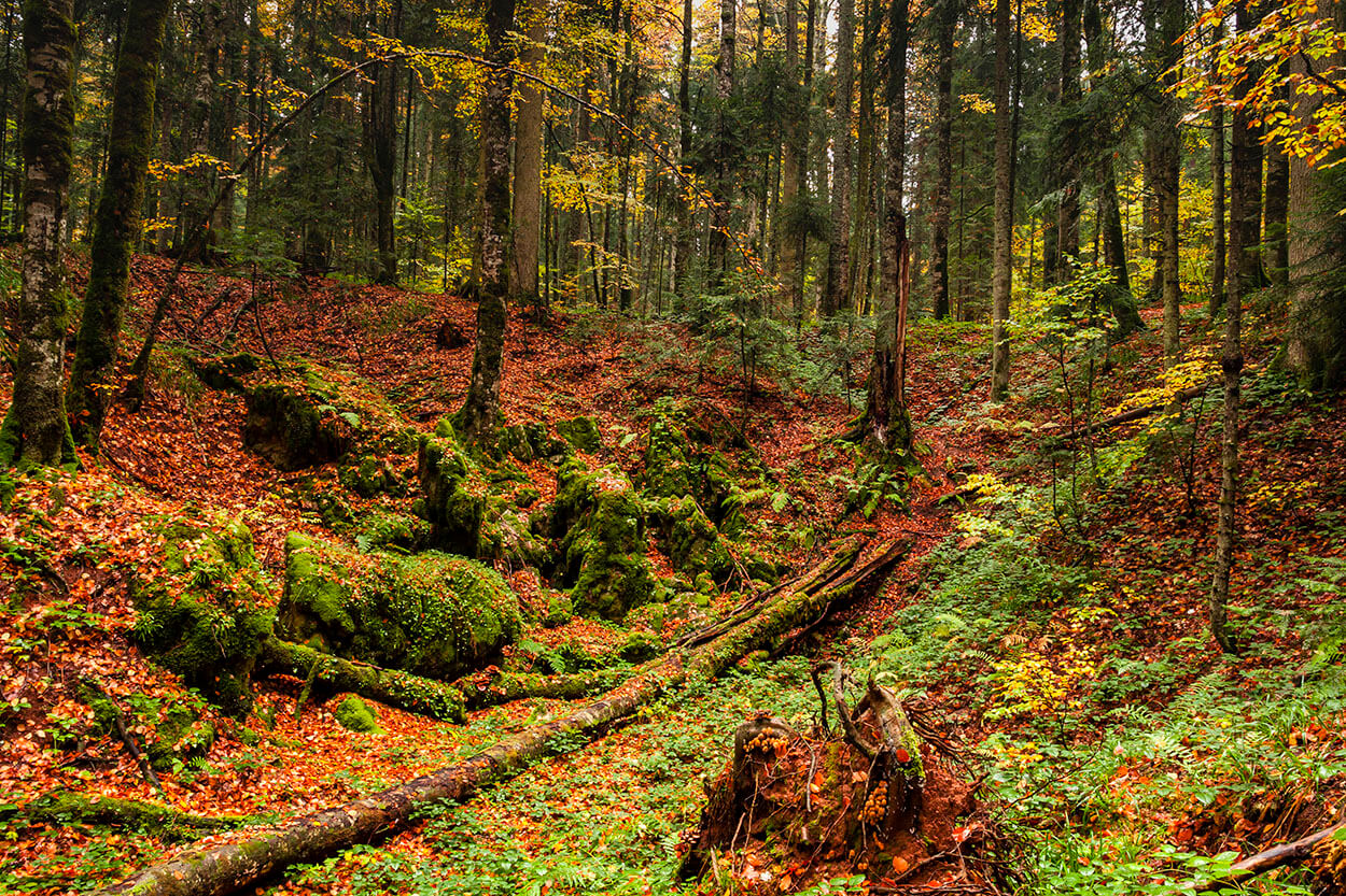
The main natural value of the Tara National Park is linked to its mixed forest covering over the 80 % of the park’s surface. So far, one-third of Serbia’s flora, or close to 1 200 plant species, grows in the area, including Serbian spruce, an endemic and relic species of conifers that survived the last ice age. Moreover, Tara is a refuge for over 140 species of birds, 19 species of fish and 60 species of mammals, among them the largest black bear population in Serbia.
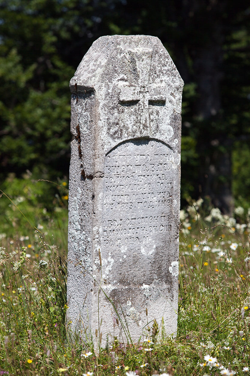
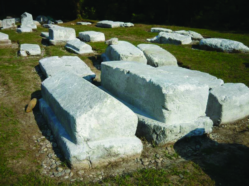
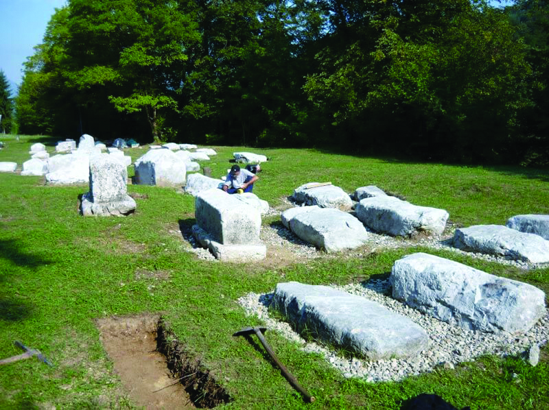
Throughout the park, there are numerous archaeological sites and monuments dating from the Neolithic to the late Middle Ages. The most important are the Rača Monastery, a 13th century endowment of King Dragutin, and the necropolises with stacks (stećci) in Perućac and Rastište, which in 2016 were placed on the UNESCO World Heritage List.
Many locations such as Banjska and Biljeska Stena, Sjenic, Crnjeskovo, Sokolarica and Osluša, attract great attention with unforgettable panoramic views. A major attraction is the Drina River Canyon with lake Perućac, where boat cruises are organised.
Visitors can enjoy about 290 km of well-marked hiking trails and more than 75 km of bike routes, starting from tourist centres. Also, 6 educational walks have been arranged, as well as the first track in Serbia tailored for people with disabilities. Tourists can enjoy a variety of activities such as hiking, mountain biking, kayaking, rafting, board sup rowing, and recently bear-watching tours.
The Tara National Park is home to more than 50 individuals of the brown bear (Ursus arctos), which is the largest beast in Europe. At Tara, thanks to the Park’s personnel, you can see him in his natural habitat from safe shelters in the feeding grounds.
Since 2006, a Junior Ranger Camp has been organised in the Tara National Park. It is a unique educational programme for primary school children (7-15 years old) developed according to the model of the European Association of National Parks (Europarc Federation).
Mramorje
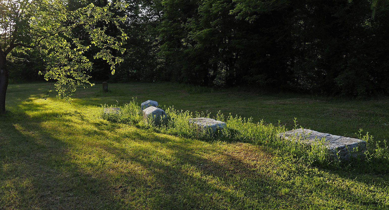
Mramorje or Bagruša is one of the two localities on the territory of the municipality of Bajina Bašta that are on the UNESCO list of protected world cultural heritage. Mramorje is a medieval tomb necropolis (14th century), located in Perućac and one of the best-preserved in that region. It stretches between the Drina River and the main road that follows its course, at the very entrance to the settlement. It is also under the protection of the Republic of Serbia as a cultural monument of exceptional importance.
Another site with old tombs, which is on the UNESCO list, can be found in Rastište on the slopes of the Tara Mountain. The necropolis was formed in the 14th century and had about 200 tombs, made of hard limestone, among which the largest reached a length of 2 meters, with a width and height of almost 1 meter. Later sources recorded the number of 122 tombs, while, according to the latest data, there are 93 of them.
Over time, some tombs were moved, some sank into the ground, while a few were transferred to museums.
Solotnik
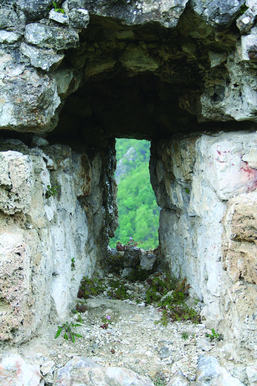
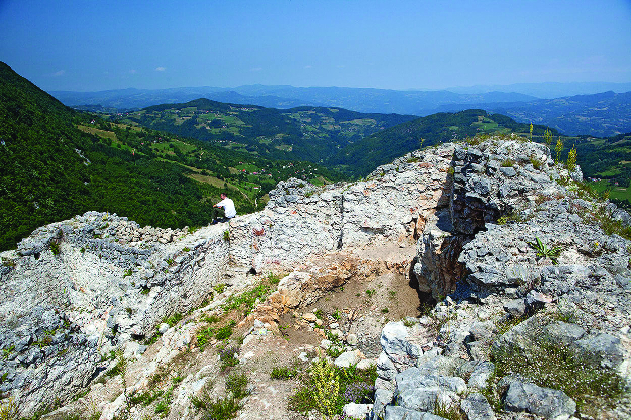
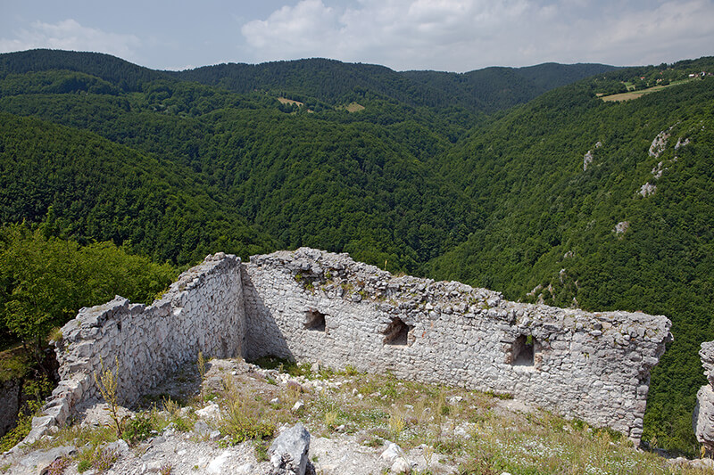
Solotnik is an archaeological site in the village of Solotuša, about 9 km from Kaludjerske Bare, dominated by the ruins of a medieval castle. The fortress was built on a rocky plateau over a long limestone cliff, which descends to the source of the Solotuška River.
There are no historiographical sources about it, and no special folklore, except for the name ‘Kulina or Jerina’s town’. According to archaeologists, Solotnik is a typical medieval castle, which owes its name to the village where it is located. During archaeological research, fragmentary remains of fortifications dating from the early Byzantine period have been found, but the castle with its manor’s court was built in the 15th century.
Fossilized lime mortar, numerous finds of weapons and scarce fragments of stone pottery indicate that Solotnik was built in a hurry and that it was conquered during a Turkish attack, most likely between 1459 and 1463. Archaeological research at Kulina has not been completed.
Rača Monastery
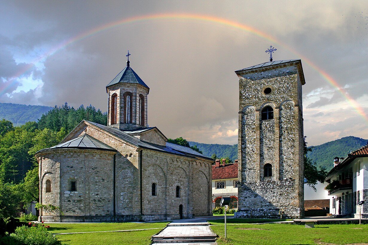
The monastery is located 6 kilometers from Bajina Bašta and considered to be the endowment of King Dragutin Nemanjić at the 13th century. Only the foundations of his imperial monastery settlement remained after the Turkish conquests of the 15th century. It is one of the most significant places in the Serbian history. Of particular importance was the Rača copyist school, and after the destruction of the monastery and the great migration of Serbs in 1690, the people of Rača created the basis of the Serbian alphabet and literature in Saint Andrew (Szent Endre, Hungary).
A hundred years later, the Tronoša brotherhood raised the monastery from the ruins, only to be set on fire again at the end of the first Serbian uprising. The present appearance of the monastery originates from 1836. During the Second World War, Miroslav’s Gospel, the oldest Serbian book written in the 12th century, was hidden here from the Germans. Part of the holy relics of King Dragutin are buried in this holy place.
The Turkish travel writer and dervish Zulih, better known as Evliya Çelebi, wrote in 1630. that the scriptorium (“Rača Transcription School”) had 300 monks-scribes, who were served by 400 shepherds, blacksmiths, housekeepers and other servants and 200 guards.
“Crveni potok” – One of the places where you can see fossils
The nature reserve “Crveni potok” is in Mitrovac in the central part of the Tara National Park. It got its name from the fact that a stream flows through it, which in its upper course spills over the soil composed of red loam, and during heavy rainfall it acquires a red colour. The reserve is overgrown with a mixed forest of spruce, fir, alder and Pančić spruce. The declaration of reserve at the Crveni potok locality stopped the intensive exploitation of the forests, which is why the rainforest has been preserved here.
The ‘Tepih livada’ (meadow carpet) locality is part of a forest of trestle in the centre of the reserve. This locality got its name because it is not yet completely overgrown with peat forest and because of the softness of the substrate due to the deformation of the peat layers.
The peatland in the “Crveni potok” nature reserve was created by the retention of the surface water of the creek, due to the impermeable geological foundation. Lack of oxygen, excess water, acidic environment and low temperatures prevented decomposition and led to the deposition of undecomposed plant remains. In a cold and humid climate, predominantly plant communities of the genus Sphagnum sp., white moss, thrive in this habitat and form deposits of white peat. Peat began to accumulate in the postglacial period, at the end of the Ice Age. It is thousands of years old and still grows about 1mm per year.
The nature reserve ‘Crveni potok’ is of exceptional importance for science. Fossilized pollen grains have been caught in the peat layers of this reserve, which store information about the history of the plant world, climate changes, habitat conditions of Tara and the whole of Serbia.
The Zaovine Lake is located in the Tara Mountain near the village of Zaovine. Its artificial lake was created between 1975 and 1983. when the flow of the Beli Rzav river was blocked by dams near the Kik peak (958 m above sea level). At the highest water level, the surface of the lake is at an altitude of 881.5 m. The greatest depth is about 110 meters. The lake is supplemented by two streams Konjska reka and Beli Rzav.
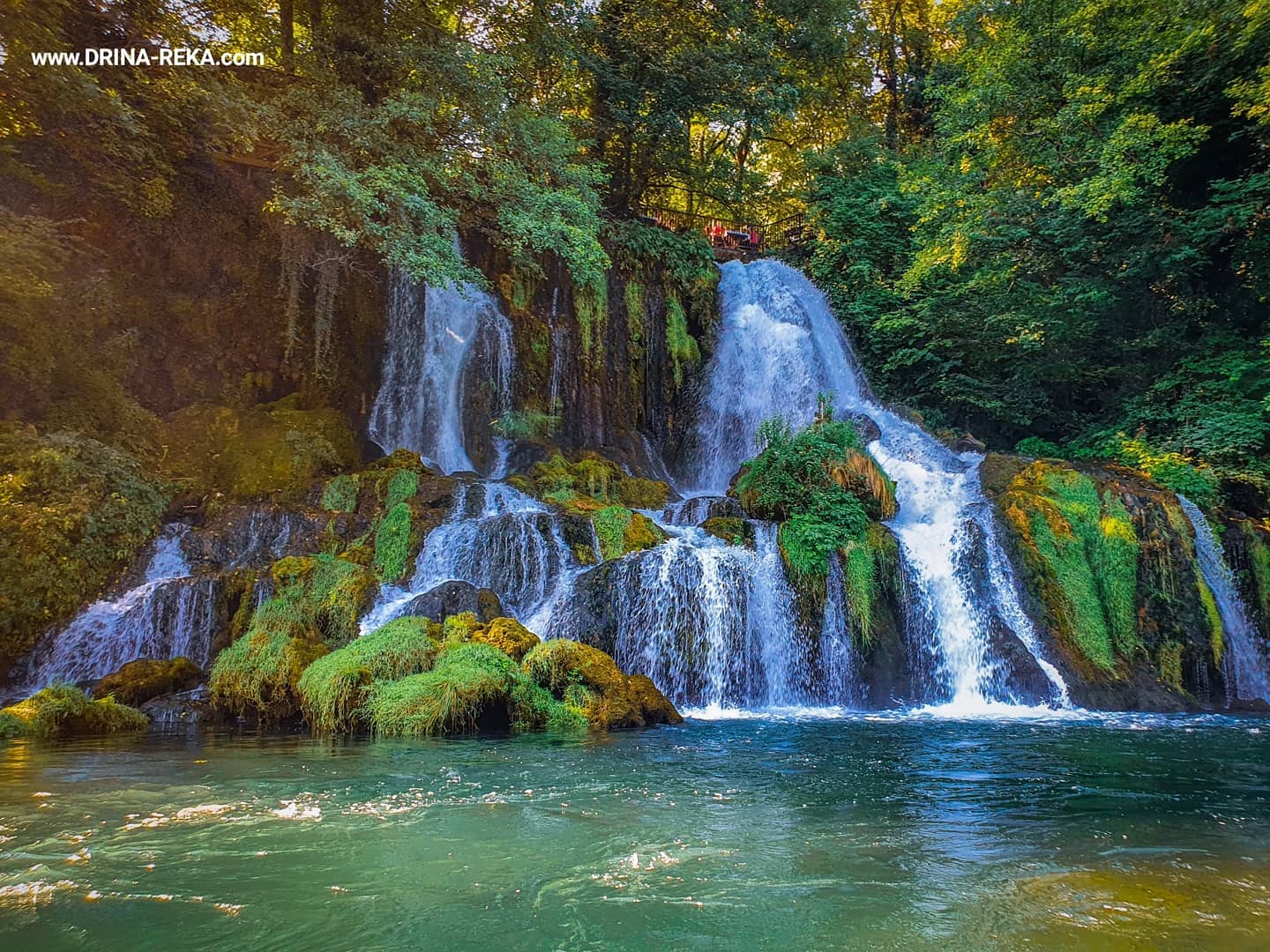
The Vrelo River is located on the right bank of the Drina River, in the Perućac settlement, 13 km upstream from Bajina Bašta in the Tara National Park. It is only 365 meters long and is considered one of the shortest rivers in Europe. Since its flow has the same number of meters as days in one year, it is also called the “One Year River”.
The Vrelo River arises from the strong karst spring Perućac at an altitude of 234 meters at the foot of the Tara Mountain. Water of the Vrelo River originates from drained precipitation from the vast limestone plateau of the Tara Mountain. The average yield of the Perućac spring is 330 l/s, while the average water temperature is around 10 degrees. At the end of its short flow, it goes into the Drina River with a 14-meter-high waterfall.
Although very short, this river has everything that much larger rivers have – a large powerful spring, a pond on the right bank, a mill on the left bank, a left affluent in the form of a clear stream, a settlement on the left bank, three bridges, and a mini hydroelectric power plant. Above the river itself there is a restaurant named ‘Vrelo’ with a beautiful terrace.
Lake Perućac is an artificial lake created by damming the flow of the Drina River, for the needs of the “Bajina Bašta” hydroelectric plant. Lake Perućac has an area of about 12.4 km², a volume of 340 000 000 m³ of water, and a depth of up to 60 m. The length of the lake is about 54 km, the smallest width is 150 m, and the largest width is about 1 000 m. Lake Perućac is located at 290 meters above sea level. The largest part of the lake is located in the canyon of the Drina River, which begins 7 km from the dam of the “Bajina Bašta” hydropower plant. The longest canyon part of the lake is surrounded by a very steep coast bordered by steep stone cliffs and stone blocks that plunge vertically into the water. Due to the steepness of the coast, the depth of the lake just a few meters from the shore reaches an average depth of 3 to 8 meters. The middle of the lake represents the border between Bosnia and Herzegovina and the Republic of Serbia.
****
One of the new events on the territory of the municipality of Bajina Bašta is the TRIBALION race. This is the craziest sports adventure – the first real Serbian obstacle race!
It is a race of almost 20 km of the most difficult mountain terrain, with 35 difficult obstacles, through mud, water, dust and a height difference of 1 150 m, held on the Tara Mountain every year in May
High walls, climbing a rope, crawling through mud, carrying sandbags, hauling loads, throwing a hammer at a target, swimming, water obstacles in a canyon, parts of the route that are almost vertical, are just some of the obstacles that await you at the Tribalion!
The biggest reward for all competitors who participate in the Tribalion challenge is to complete the race. Proof that you’ve managed to push your own limits of endurance.
****
In any case, Tara is a place where you always have something to do, namely: hiking, hunting/fishing, horse riding, kayaking or exploring numerous canyons- you decide…
The text prepared was based on the information published on the official website of the Tourist organisation “Tara-Drina” Bajina Bašta, the photos used here are also form the same source
******
This area hosted many EU-funded projects that were and/or still are under implementation. Most of them are implemented under the Instrument for Pre – Accession Assistance cross-border cooperation programme Serbia – Bosnia and Herzegovina. For more information about the projects, please check the programme website or contact directly its joint technical secretariat.
WB landscape section:
SAFEGUARDING THE UNIQUE BIODIVERSITY OF THE DRINA VALLEY ENVIRONMENT
Project partners were daily dealing with the management of sensitive ecosystems and biodiversity. Therefore, they focused their joint activities on preserving the unique habitats of the Pančić spruce, contributing to keeping the biological diversity of the Drina River basin.
Two public enterprises collaborated with the Institute of Molecular Genetics and Genetic Engineering from Belgrade to determine the genetic diversity of the Pančić spruce populations, as a basic precondition for the preservation of the species in the future. They mapped the spruce habitats and analysed the dynamics of tree growth, their current state, and the influence of climate conditions. These project activities were carried out at the 40 habitats of the Pančić spruce in the municipalities of Bajina Bašta, Srebrenica, Milići, Rogatica, Višegrad and Foča. Finally, a joint plan for managing the spruce populations on both sides of the border was created as a concrete measure for the protection and preservation of this endangered species. In addition to the scientific aspect of this project, educational and promotional activities for the young people from the above mentioned 6 municipalities were also particularly important for the project implementation. The two enterprises promoted and informed the young people on the biological diversity and the importance of the Drina River basin though entertainment and games. Their joint expert team designed a set of online games, which included puzzles, quizzes, associations, colouring books, etc. These games can be accessed via the link. Simultaneously, a digital exhibition with panels on the biodiversity of the Drina River basin was created and can be visited via the following link.
IMPROVED EMERGENCY PREPAREDNESS & COORDINATED RESPONSE IN THE CROSS-BORDER AREA OF SERBIA AND BOSNIA AND HERZEGOVINA (CBC – IEPCR)
With this project, the Mountain Rescue Services and the Mountaineering Association ‘Tara’ were improving their cooperation with the aim of increasing capacities for the service provision during floods and mountain and river accidents in the cross-border region of Serbia and Bosnia and Herzegovina.
The rescue teams improved their capacities in realistic settings and controlled conditions. They underwent training sessions in alpine skiing and ski touring, rescue from flood waters, summer and winter mountain rescue, emergency medicine, and driving snowmobiles. These trainings were opportunities for experience exchange and harmonization of procedures and rescue techniques. The project purchased equipment including snowmobiles, ATV vehicles, rescue boats, helmets, belts, and ropes. Additionally, the Mountain Lodge Tara and the Training Centre in Sarajevo were equipped with an artificial climbing wall and a platform for helicopter rescue.
Project partners conducted a survey among the population in the cross-border area to determine the level of knowledge of the population regarding preparedness for reaction in emergency situations and natural disasters. Based on the survey results, they organised training on protection and rescue in schools, among senior citizens, and in the Roma communities. Employees in the public sector were trained on how to educate citizens for emergency situations response in the future. Members of local protection units as first respondents were trained on protection and rescue.
An important part of the project was directed towards the use of digital technologies for rescue operations. Mountain Rescue Services gained access to the electronic database of rescue workers in the cross-border area. Videos of training sessions were posted online as well as a joint electronic library with handbooks on rescue techniques. Additionally, there was a plan to have fast data processing and analysis by using a mobile form for entering information on accidents.
It was estimated that the project contributed to the decrease in the response time of rescue teams in the cross-border area. Therefore, project benefits were not only directed towards the local population but also to the numerous tourists visiting the cross-border region.
IMPROVING THE FIRE EMERGENCY MANAGEMENT SYSTEM IN THE CROSS-BORDER AREA OF B&H AND SERBIA
The capacity for prevention, response, and rescue in fire emergency situations in the municipalities of Rogatica and Bajina Bašta has been significantly improved.
The project implementation improved cooperation and coordination in the management of fire emergency responses in the cross-border area of Serbia and Bosnia and Herzegovina. It also enhanced the management of the fire and rescue services in Rogatica and Bajina Bašta. Project activities included purchasing equipment, networking, exchanging best practices, and improving capacities through training. The Municipality of Rogatica purchased a vehicle with a hydraulic platform for rescue in high buildings. Additionally, the National Park Tara acquired two smaller specialized vehicles for quick response teams. These smaller vehicles with special upgrades have shortened the intervention time. Fires in the Tara National Park used to occur almost every year, and quick and timely intervention was the key to preventing large-scale fires. Thirty representatives from the municipalities of Rogatica and Bajina Bašta, the Tara National Park, the Territorial Fire Department of Rogatica, the Fire Department of Bajina Bašta, the Voluntary Fire Department of Bajina Bašta, as well as representatives of civil protection from the two municipalities, underwent training on fire prevention, extinguishing, and rescue during a fire. The local population had been included in the project through a campaign covering their role in the prevention of fires. The greatest benefit of the project was increased safety of people and property in Rogatica and Bajina Bašta. In addition, the project increased cooperation among cross-border communities, contributing to the creation of an efficient and sustainable system for emergency response in the region.


